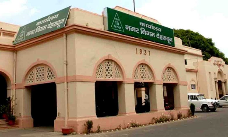
MCD completes GIS-based survey in 44 wards

Saturday, 29 October 2022 | PNS | DEHRADUN
The Geographic Information System (GIS) based survey for property mapping has been completed in 44 out of 100 wards of the Municipal Corporation of Dehradun (MCD). Most of these wards fall under urban areas and the officials are also considering sending notices to property tax defaulters of these wards.
The corporation had sent notices to over 400 property tax defaulters of Kaulagarh ward earlier this year after conducting a survey on the basis of GIS mapping. Kaulagarh was selected as the pilot ward for the GIS mapping project in Dehradun by the Urban Development Directorate (UDD). The officials have estimated a minimum hike of 50 per cent in the revenue collection of property tax after the completion of the survey. In this survey, satellite images and aerial photographs are taken using drones for a thorough analysis of the buildings besides conducting door to door surveys to collect additional details like electricity connection, water connection, kitchens and toilet seats to get complete data of the buildings.
Though the directorate had expected the whole process to be completed by 2023, this process is expected to take at least six more months to cover the remaining 56 wards in Dehradun. After collecting the details of properties, the data would be made available to the online portal of the directorate which would make the quick assessment and appropriate calculation of property tax.
Many do not provide right assessment of their properties leading to loss of revenue to ULBs but the quick online assessment on the basis of the GIS-based mapping will provide right property tax charges to property owners as well as the official concerned. The Dehradun municipal commissioner Manuj Goyal informed that the corporation has already started taking action against residential and non-residential property tax payers by sending notices to over 10,000 defaulters and the data of the survey will also be used to identify more defaulters.


