IIRS to assist State in disaster management

Thursday, 11 November 2021 | PNS | Dehradun
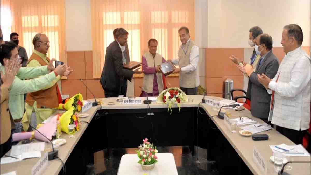
Two memoranda of understanding were signed between the Indian Institute of Remote Sensing (IIRS) and the Uttarakhand State Disaster Management Authority (USDMA) on Wednesday. Following this, the IIRS will consistently monitor glaciers in the Himalayan region using satellite and provide prior information to the state regarding potential threat of avalanche, landslides and such events. Further, the IIRS will also train disaster management personnel in aspects of satellite technology and GIS.
Speaking as the chief guest at the function held on Wednesday, the Disaster Management minister Dhan Singh Rawat said that the agreements signed with the IIRS on the occasion will prove to be important for the state. The cooperation and training from the institute will be helpful in tackling disasters and other challenges in the future, he said. The minister said that the USDMA will undertake more public interest works in the field of disaster management with the IIRS in the future. A work plan will be prepared soon and a workshop will be organised for this purpose.
The institute director Prakash Chauhan informed about the various works and studies being undertaken by IIRS in the Himalayan region. In his presentation, he also evaluated past disasters in Kedarnath and Uttarkashi using satellite images. At present too the institute is keeping a watch using satellite on the lakes forming the Himalayan region, avalanches and landslides. Information compiled on these aspects is shared with the Government of India and the State government.
Informing in detail about the memoranda signed with the IIRS, the disaster management secretary SA Murugesan spoke of joint efforts in the field of disaster management in the future too. He also stressed on the importance of remote sensing for preparing for disasters.
IIRS dean SK Srivastav, USDMA executive director Piyoosh Rautela and others were also present on the occasion.


