

PIONEER NEWS SERVICE/Dehradun
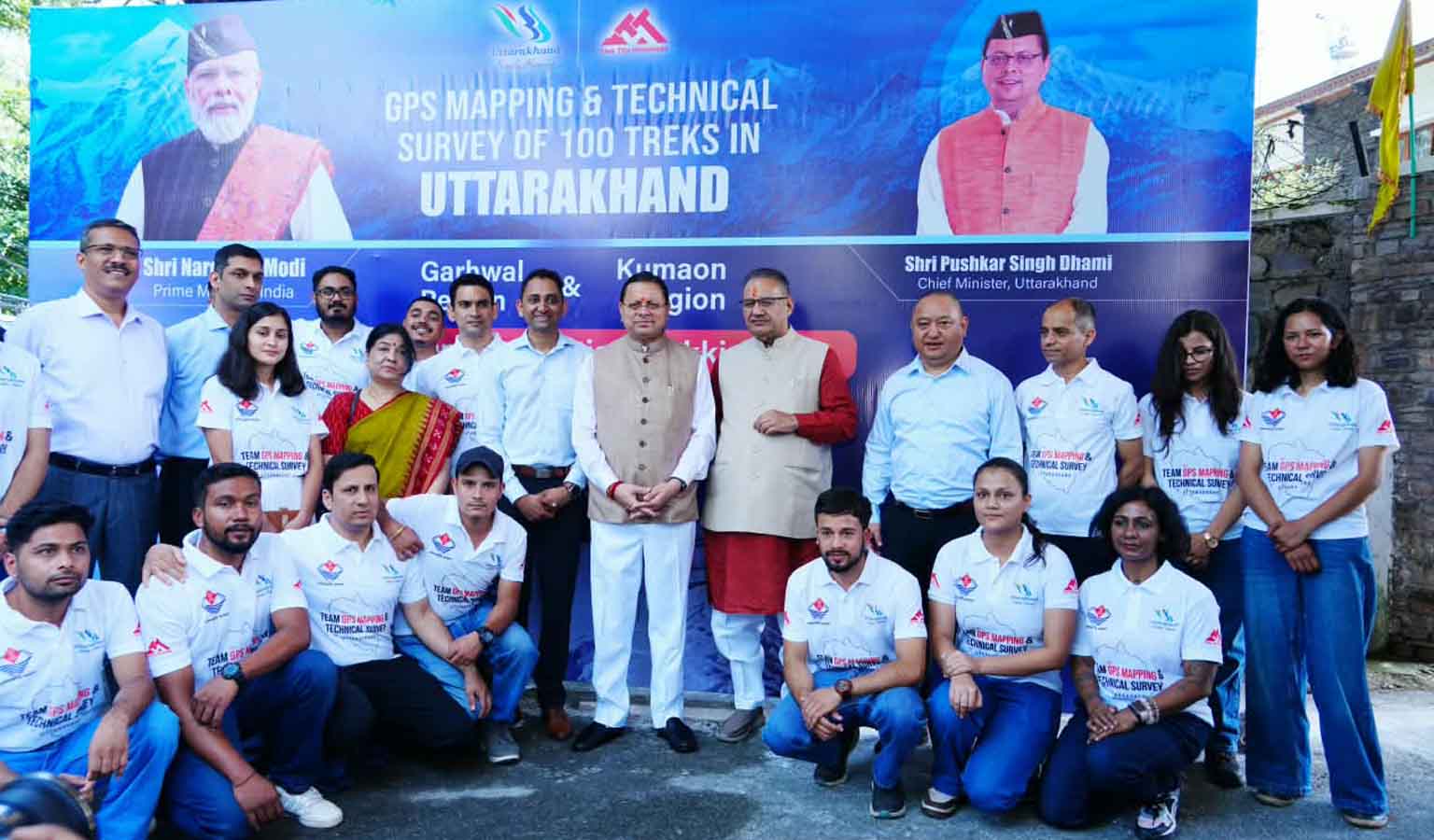
The Uttarakhand Tourism Development Board (UTDB) launched a GPS/GIS-based mapping exercise covering 100 major trekking routes on Friday with teams set to survey an estimated 5,000 to 10,000 kilometres of trails across Uttarakhand. Chief minister Pushkar Singh Dhami flagged off the teams from the CM’s camp office in Dehradun. The first phase will cover 35 routes with priority given to high-altitude trails above 5,000 metres so that their surveys can be completed before snowfall begins in November. Teams from the UTDB will conduct scientific GPS mapping and technical surveys of the selected routes. The exercise will document the actual length and altitude of trails along with major stops, camping sites, water sources, toilets and other facilities available along the routes.
The teams include GPS and GIS experts, trekking experts, trek leaders, content writers and app developers. The information collected during the field surveys will be used to create a comprehensive digital database of trekking routes and related facilities. Dhami said that the initiative would use modern technology to make trekking in Uttarakhand safer and more accessible. The project, he said, would also support the State’s efforts to develop itself as a technology-enabled, safe and sustainable trekking destination. The tourism secretary Dhiraj Singh Garbyal said that the mapping exercise was being conducted in coordination with the Forest Department. The database would help authorities assess the feasibility and safety of trekking routes while supporting their sustainable management, he said.
A key component of the project will be an online and offline GPS navigation app. Garbyal said that the application would allow trekkers to navigate even in areas without internet connectivity and would alert or reroute them towards designated trails if they move away from the mapped route. The digital mapping is also expected to bring remote and lesser-known trekking destinations onto the State’s tourism map. He said that the project would improve documentation and management of trekking routes while strengthening tourist safety and providing digital visibility to destinations that currently have limited presence on tourism platforms.