PWD plans drone survey to identify vulnerable slopes amid rising landslides

PIONEER EDGE NEWS SERVICE/Dehradun
The Public Works Department (PWD) will soon conduct drone surveys along important roads to identify vulnerable slopes, seasonal water streams and erosion-prone areas. An agency will also be engaged to undertake slope treatment and protection works at identified locations. PWD engineer-in-chief Rajesh Chandra Sharma said that a special agency will be hired to assess vulnerable slopes and recommend necessary treatment. The
Dehradun chief engineer has been directed to identify a suitable agency specialising in slope stabilisation and protection and initiate work at vulnerable locations.
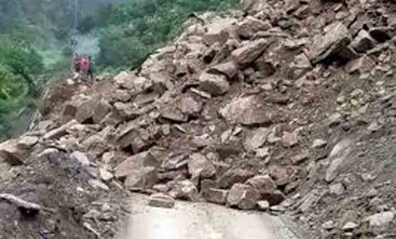
Sharma said that erosion of slopes in downstream areas is a matter of concern, particularly where it threatens important deposits and infrastructure. Several slopes have become loose following earlier landslides, while streams and drains are now flowing through or below these areas, increasing their vulnerability during heavy rainfall.
“After a landslide, the newly formed slope is unstable and water starts flowing through the area. During heavy rainfall, this loose slope can get further disturbed. As the slope tries to regain stability and its natural angle of repose, it can collapse under its own weight.” he said.
Such slope failures can also damage retaining and protection walls downstream, Sharma said. The department has directed officials to identify vulnerable locations and take preventive measures before the onset of heavy rainfall.
Priority will be given to locations where a stream or drain flows below a weak or loose slope. Protection and slope-treatment works will be carried out up to the Highest Flood Level (HFL) at such sites to check further erosion and destabilisation. The proposed drone survey will cover important roads and help identify seasonal water channels, unstable slopes and other vulnerable stretches, particularly those falling within HFL areas. Sharma said that the exercise is intended to enable advance identification and treatment of vulnerable slopes, reducing the risk of recurring landslides and associated damage to roads, retaining structures and other infrastructure across the State