

PIONEER EDGE NEWS SERVICE/Dehradun
Even as the expected arrival of monsoon in Uttarakhand remains about three days away, the maximum temperatures remained appreciably above normal in plains and normal to appreciably above normal in the mountainous regions of the State again on Saturday. The State Meteorological Centre has stated that no significant change in maximum temperatures is likely during the next two to three days though it is likely to fall by upto three degrees Celsius during the subsequent two to three days.
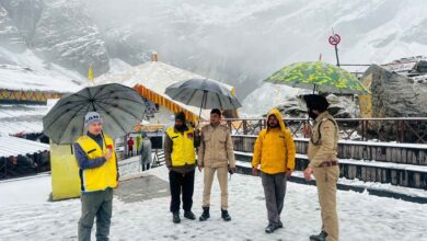
The centre issued a yellow warning about the possibility of thunderstorms accompanied by lightning, intense to very intense spells of rain and gusty winds (30-40 kmph) likely to occur at isolated places in the State’s mountainous districts today. Apart from this, light to moderate rain/thunderstorms are likely to occur at many places in Pithoragarh and Bageshwar districts. While light to moderate rain/thunderstorms are likely to occur at a few places in the remaining mountainous districts, very light to light rain/thunderstorms are likely to occur at isolated places in Haridwar and Udham Singh Nagar districts on Sunday.
The provisional State capital Dehradun is forecast to witness a mainly clear to partly cloudy sky. Thunder cloud development/light rain is likely to occur in some areas towards afternoon/evening while the maximum and minimum temperatures are likely to be about 37 degrees Celsius and 26 degrees Celsius respectively today.
The maximum and minimum temperatures recorded on Saturday were 37 degrees Celsius and 26.3 degrees Celsius respectively in Dehradun, 39.2 degrees Celsius and 26 degrees Celsius in Pantnagar, 26.6 degrees Celsius and 15.8 degrees Celsius in Mukteshwar and 28.6 degrees Celsius and 18.6 degrees Celsius in New Tehri.